Mississippi River Flight- Day Four - Part Three
Creve Coeur Airport to Kennett, Missouri
|
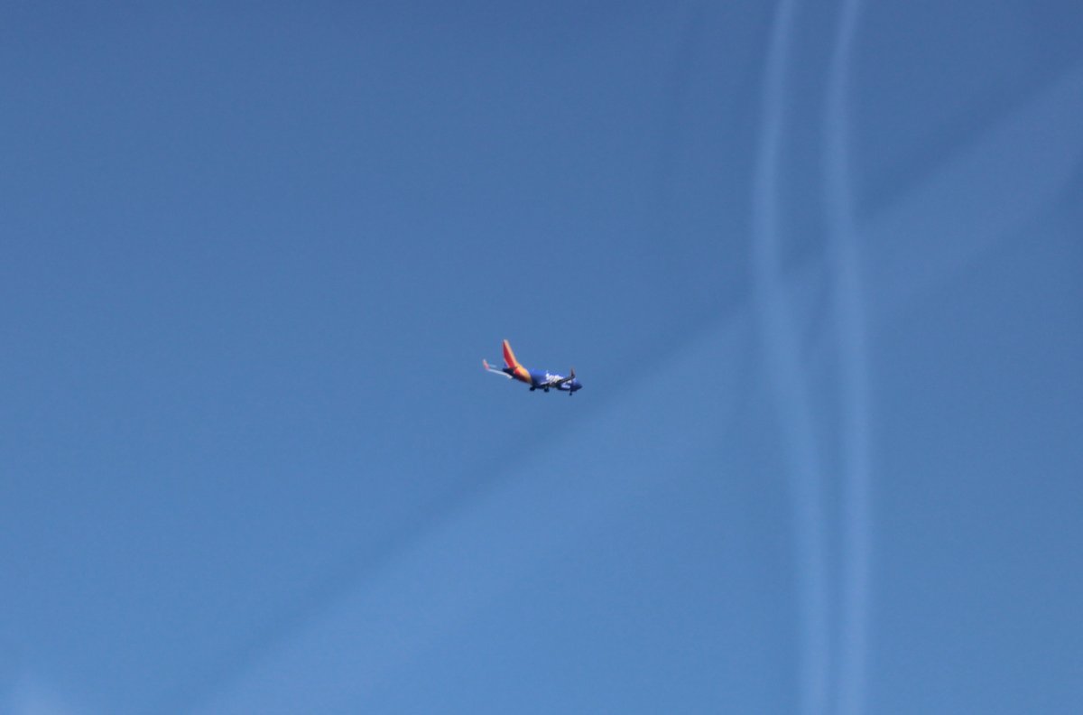
| As I flew just north of St. Louis International, this Southwest 737 passed overhead. |
| |
 |
|
|
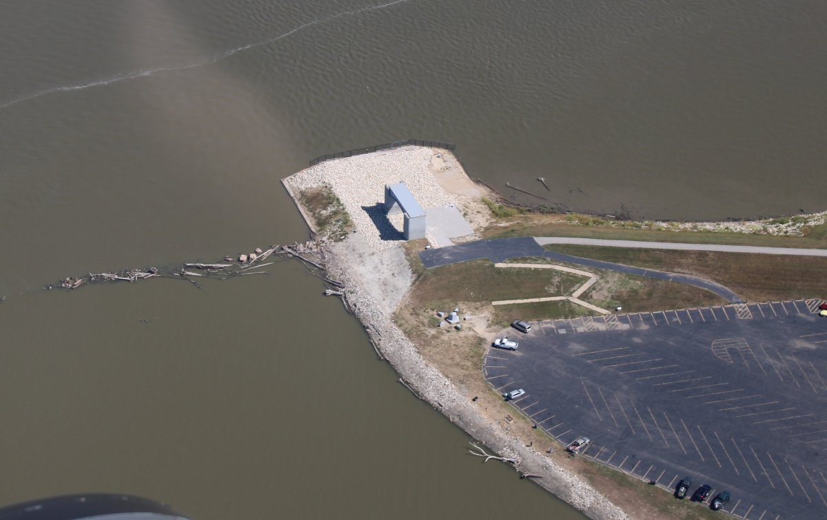
Flying along the Mississippi again, just before reaching the Clark Bridge and before the Mississippi-Missouri confluence, I saw this monument. I thought maybe it had something to do with Lewis & Clark, but It is in the Lincoln-Shields Recreation area and is a Civil War memorial to the Confederate prisoners who contracted small pox and were then quarantined in a hospital on what became known as "Small Pox Island." Those soldiers then died and were buried on the island. Because of the shifting of the river channel and the flooding of the Mississippi River, Small Pox Island is now submerged.
|
| |
 |
|
|
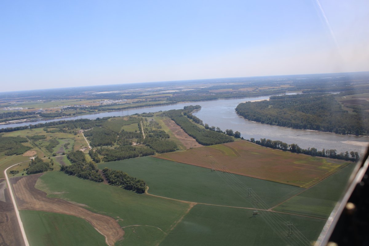
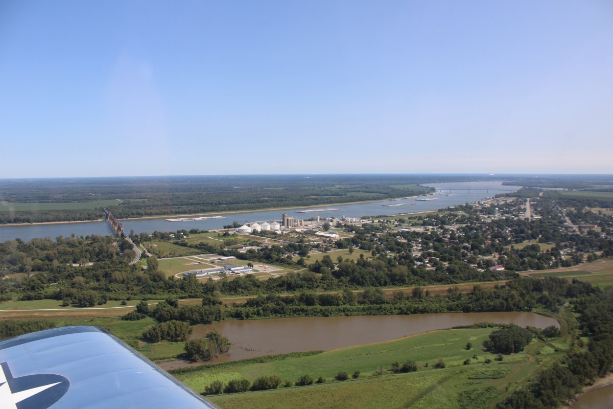
Mississippi River on the left, Missouri River on the right. This is where the MIssouri River begins its journey to western Montana.
|
| |
 |
|
|
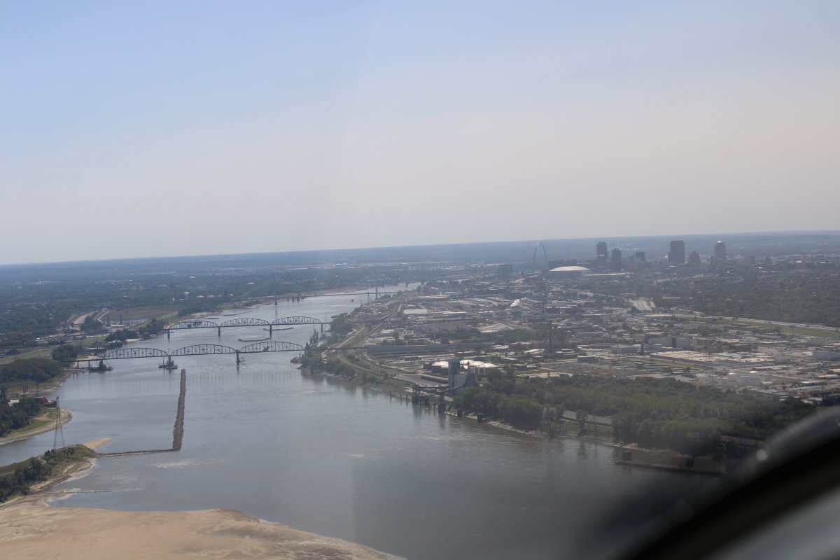
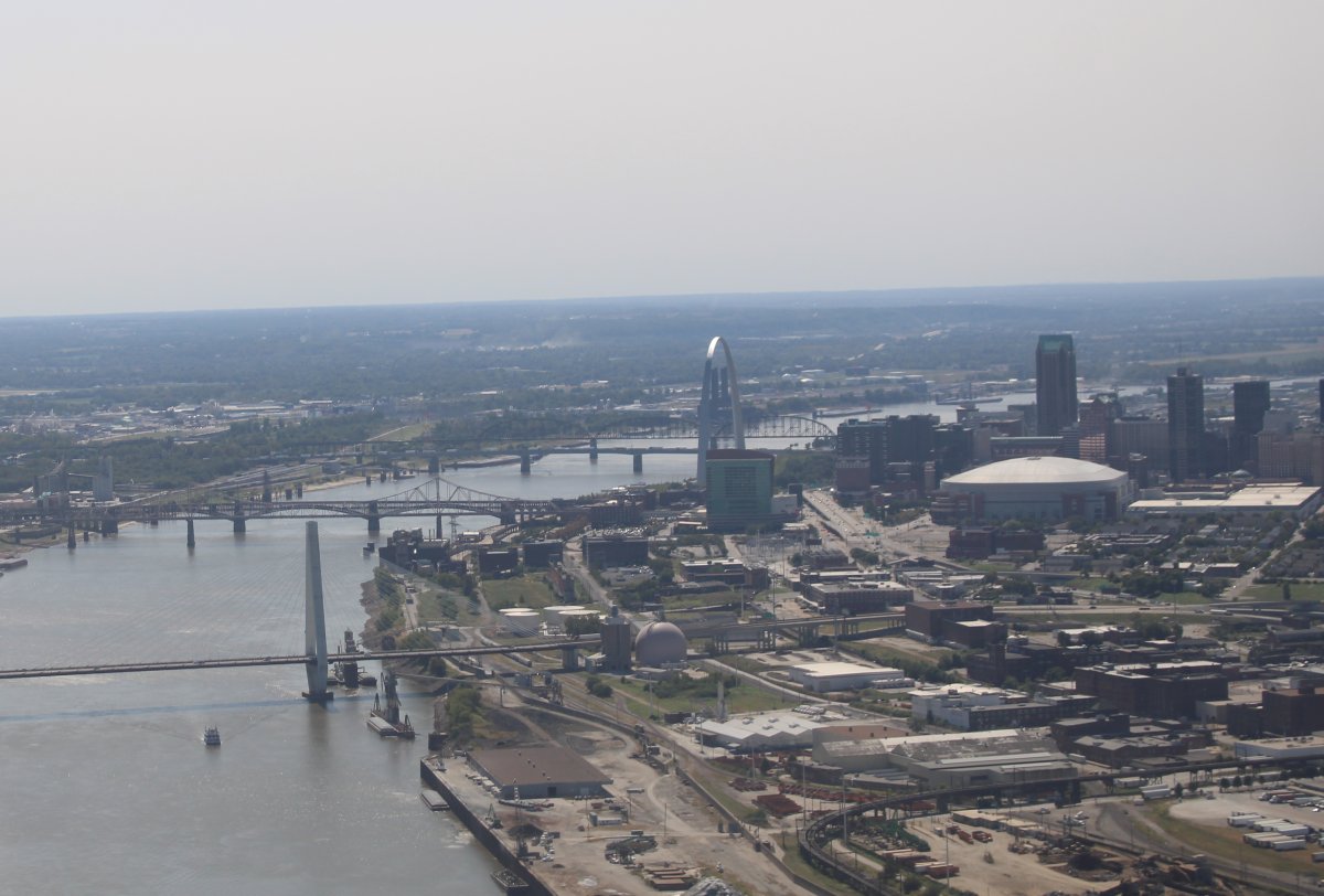
Approaching St. Louis downtown. You can see the Gateway Arch to the left of the domed stadium. It is higher than any of the buildings!
|
| |
 |
|
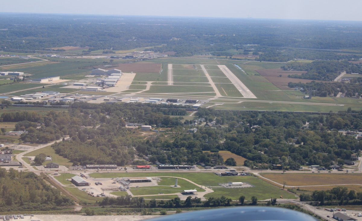
| St. Louis Downtown Airport (KCPS) is a towered airport whose Class D airspace includes the area over the river south of the Arch. They gave me a transition through their airspace so it wasn't a problem. |
| |
 |
|
|
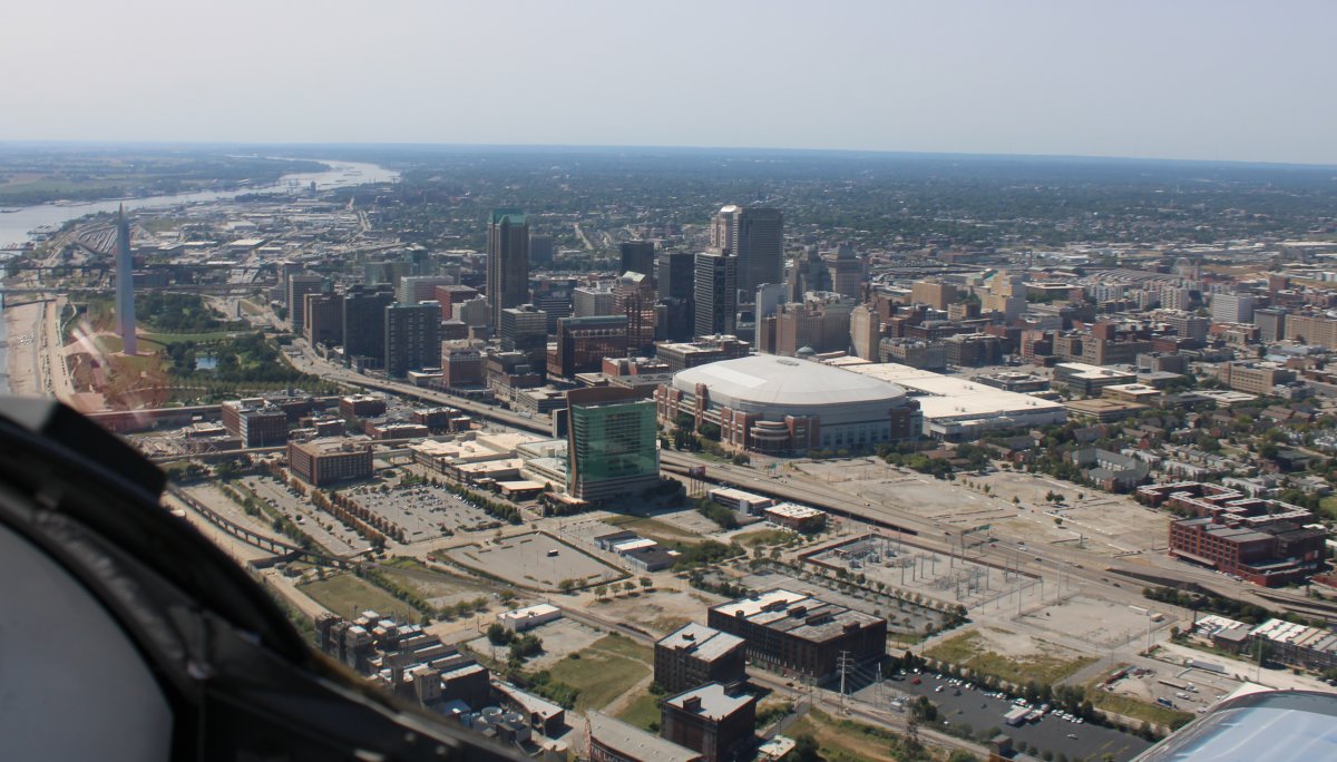
A good look at the city of St. Louis. It's not as big as I thought it would be.
The domed stadium doesn't get much use since the Rams left a few years ago.
|
| |
 |
|
|
|
| |
 |
|
|
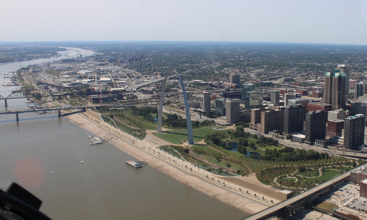
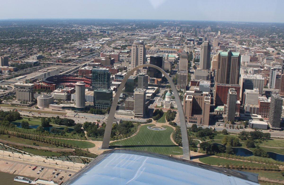
And here's the money shot! Notice the baseball stadium to the left.
|
| |
 |
|
| Passing by "Downtown" Airport on the left. |
| |
 |
|
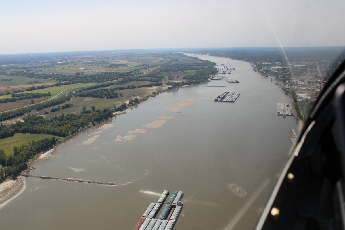
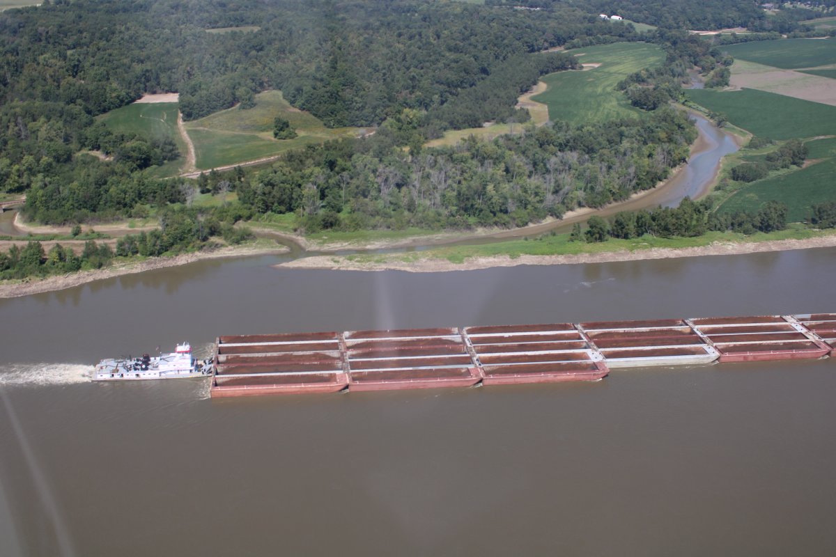
| And then I was on the south side of the city, heading south. Lots of barge/towboat rigs on the river here. |
| |
 |
|
|
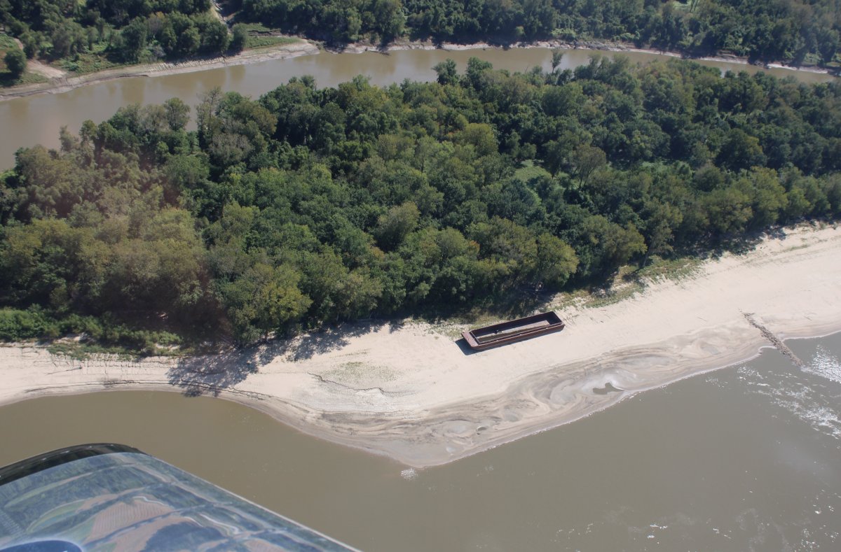
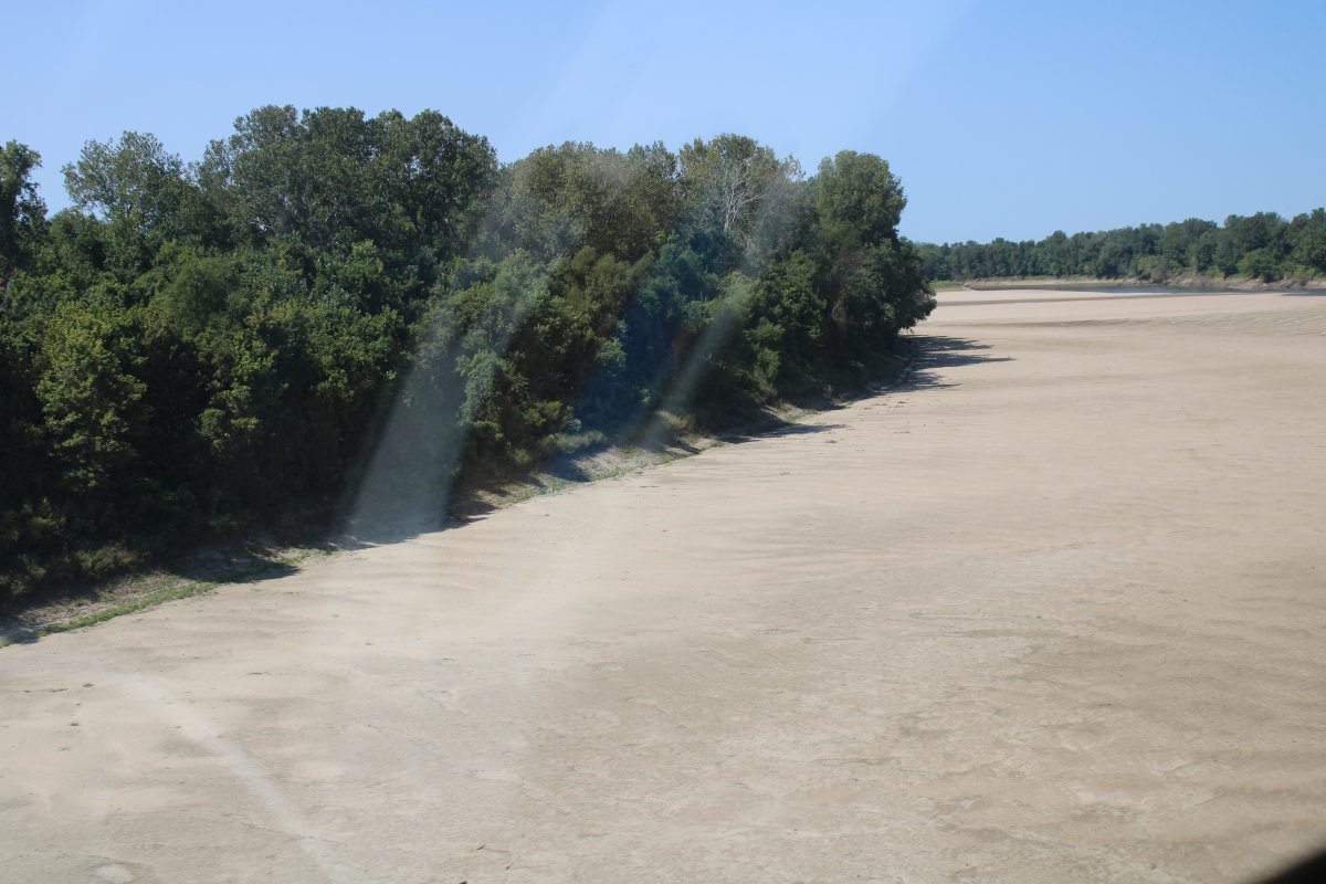
A barge washed up on the sand and abandoned.
|
| |
 |
|
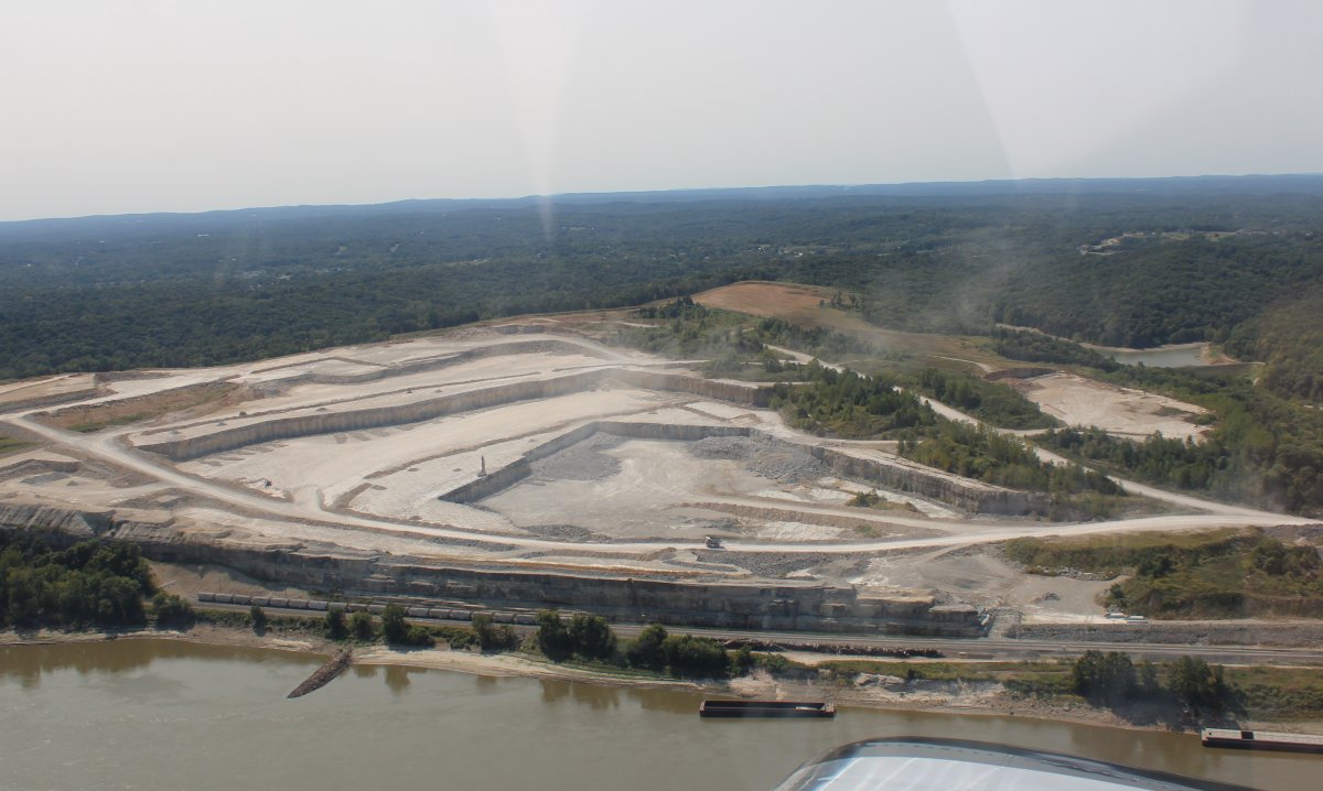
| Passing by a huge quarry just off the river. |
| |
 |
|
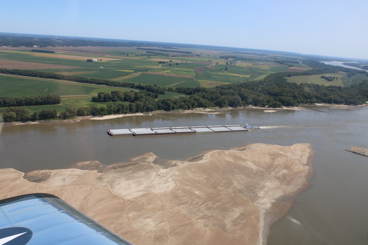
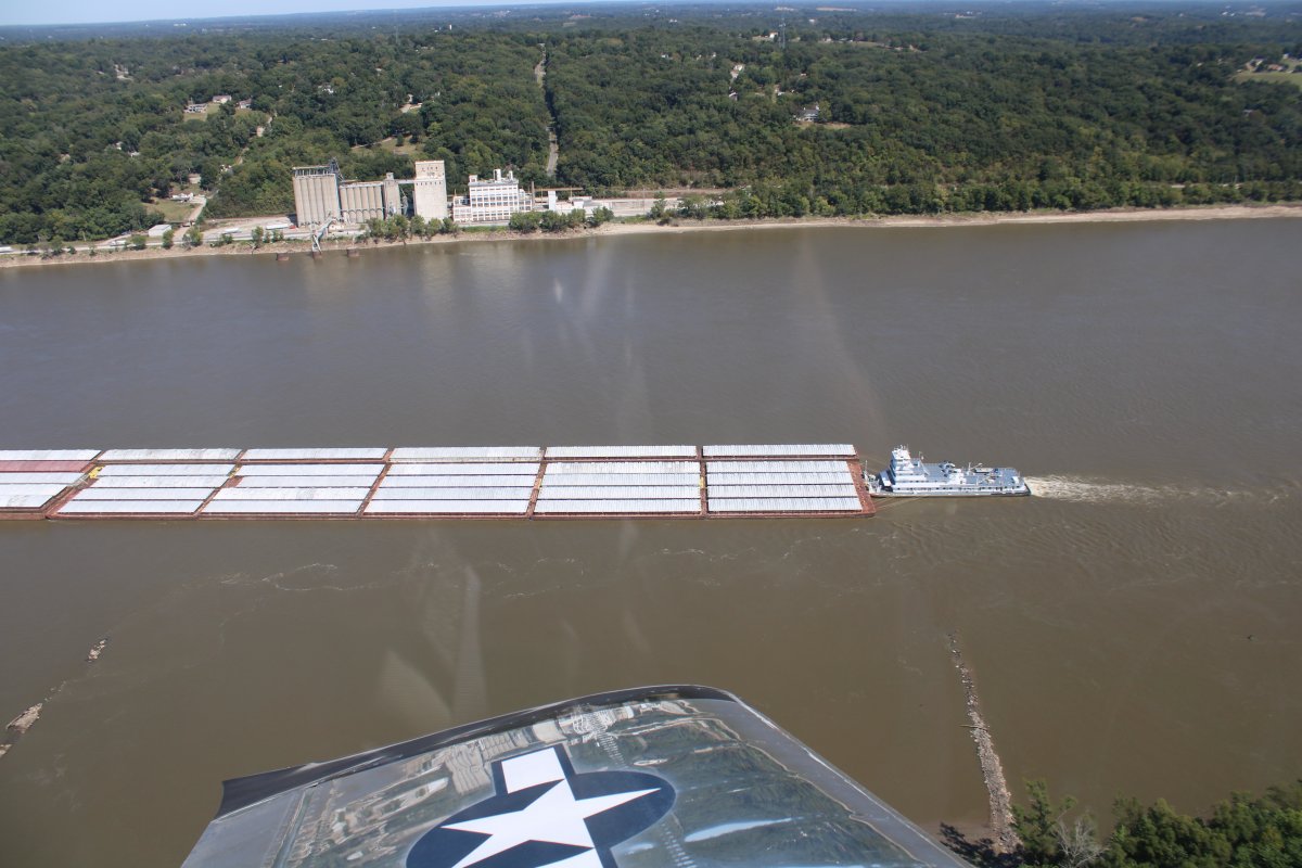
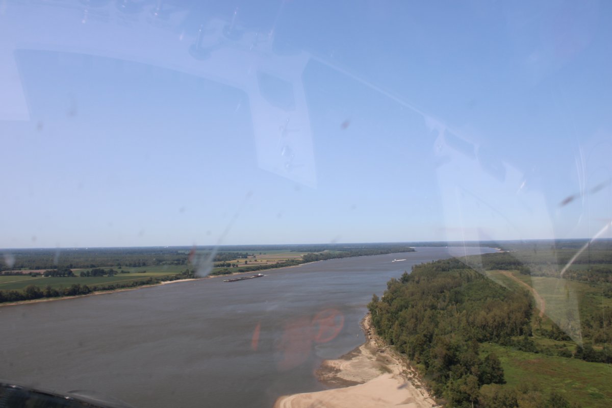
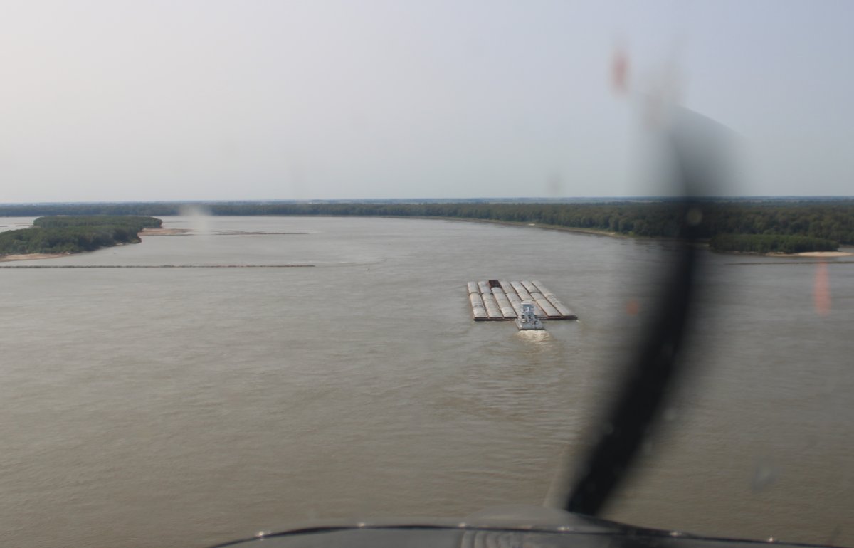
| The barge/towboat rigs were larger south of St. Louis. This one has 35 barges! Five across and seven deep. Huge sand bar islands also started making an appearance. |
| |
 |
|
| This barge was different. I'm thinking maybe it carries oil or natural gas. |
| |
 |
|
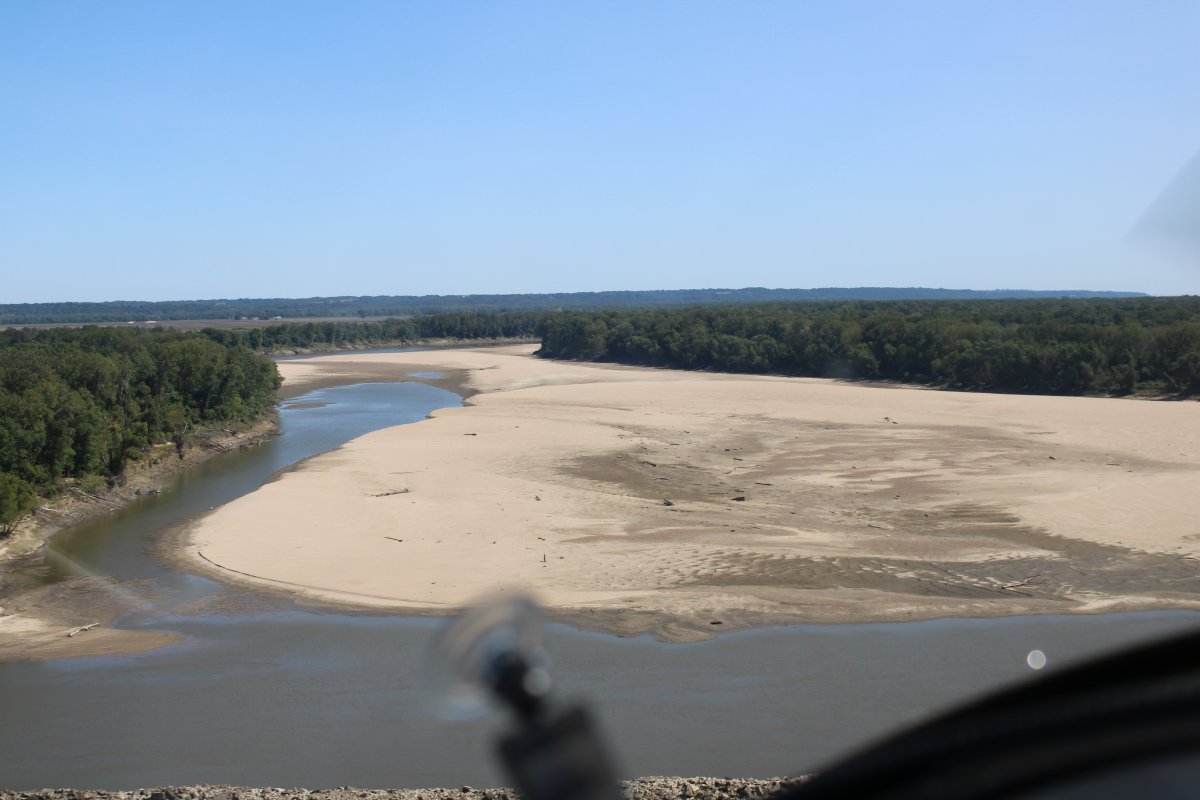
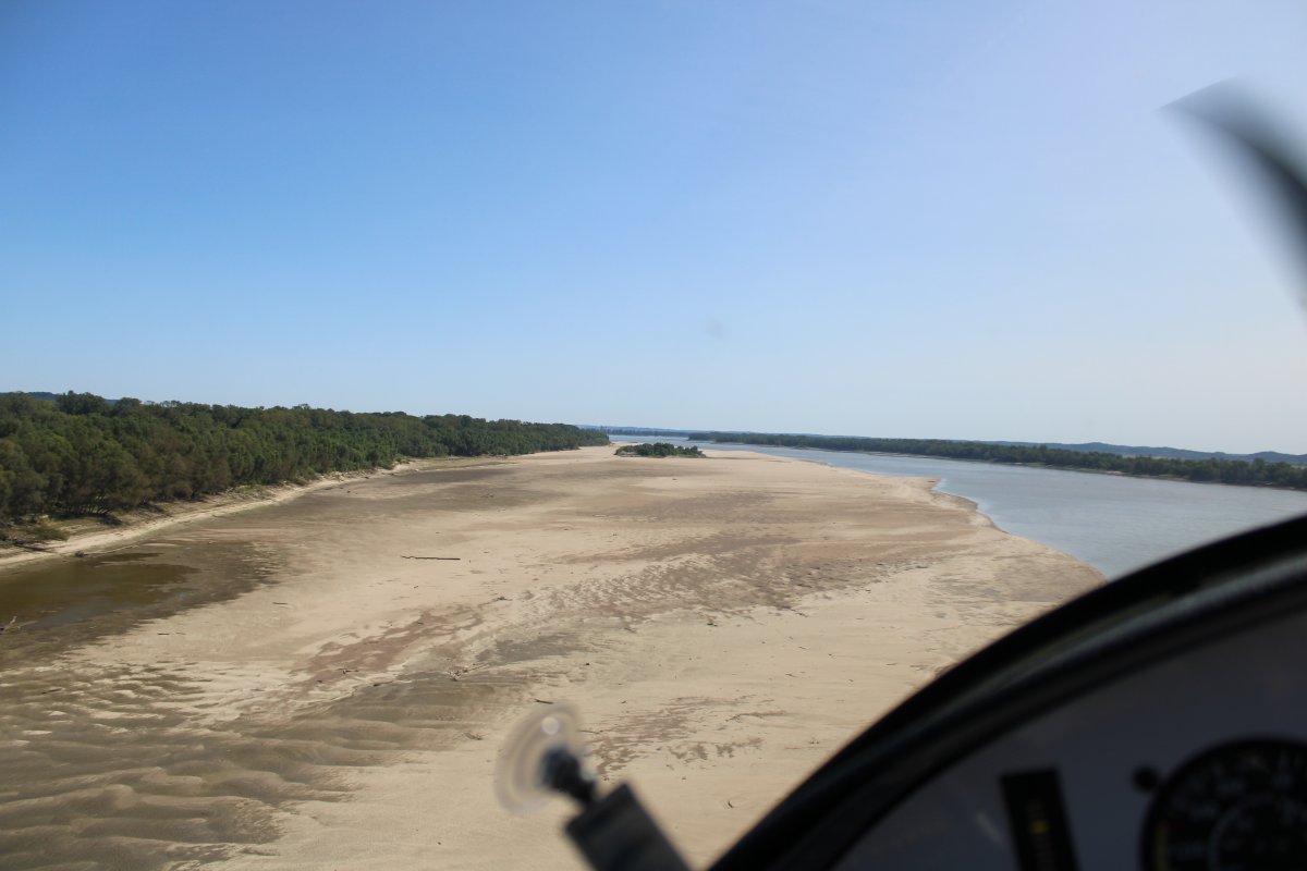
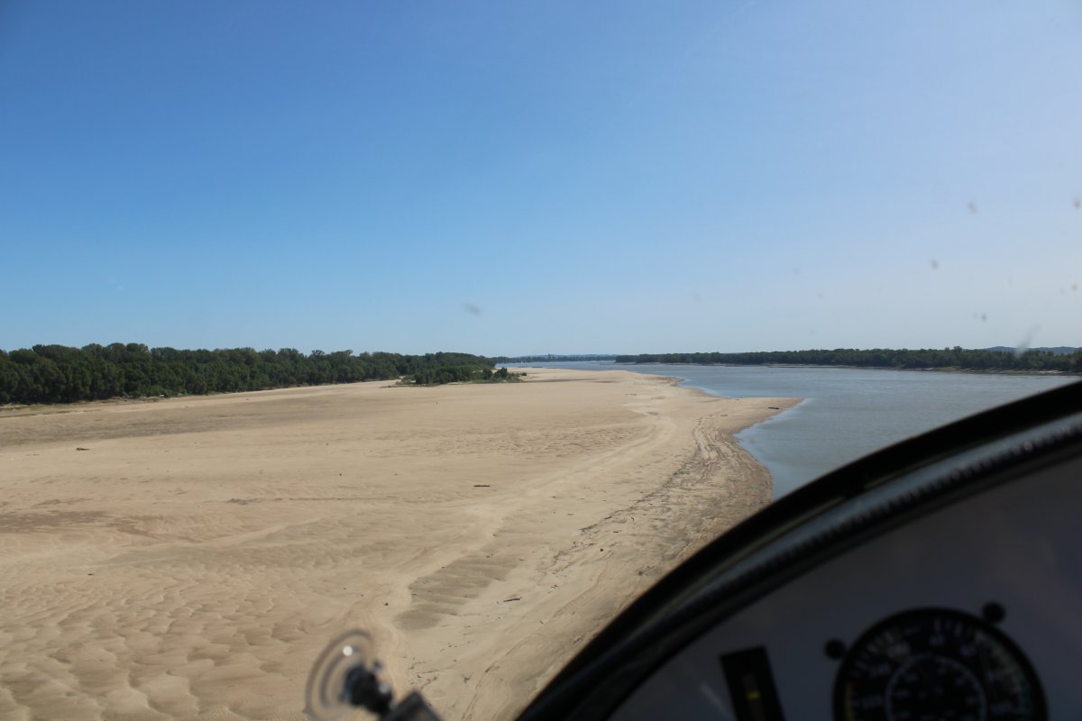
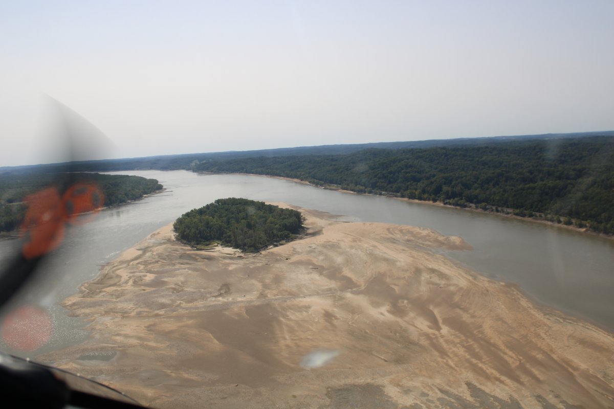
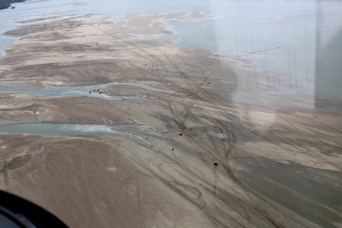
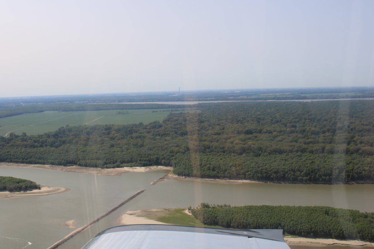
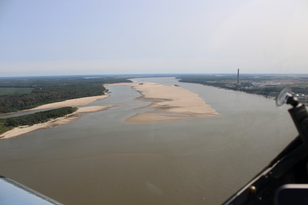
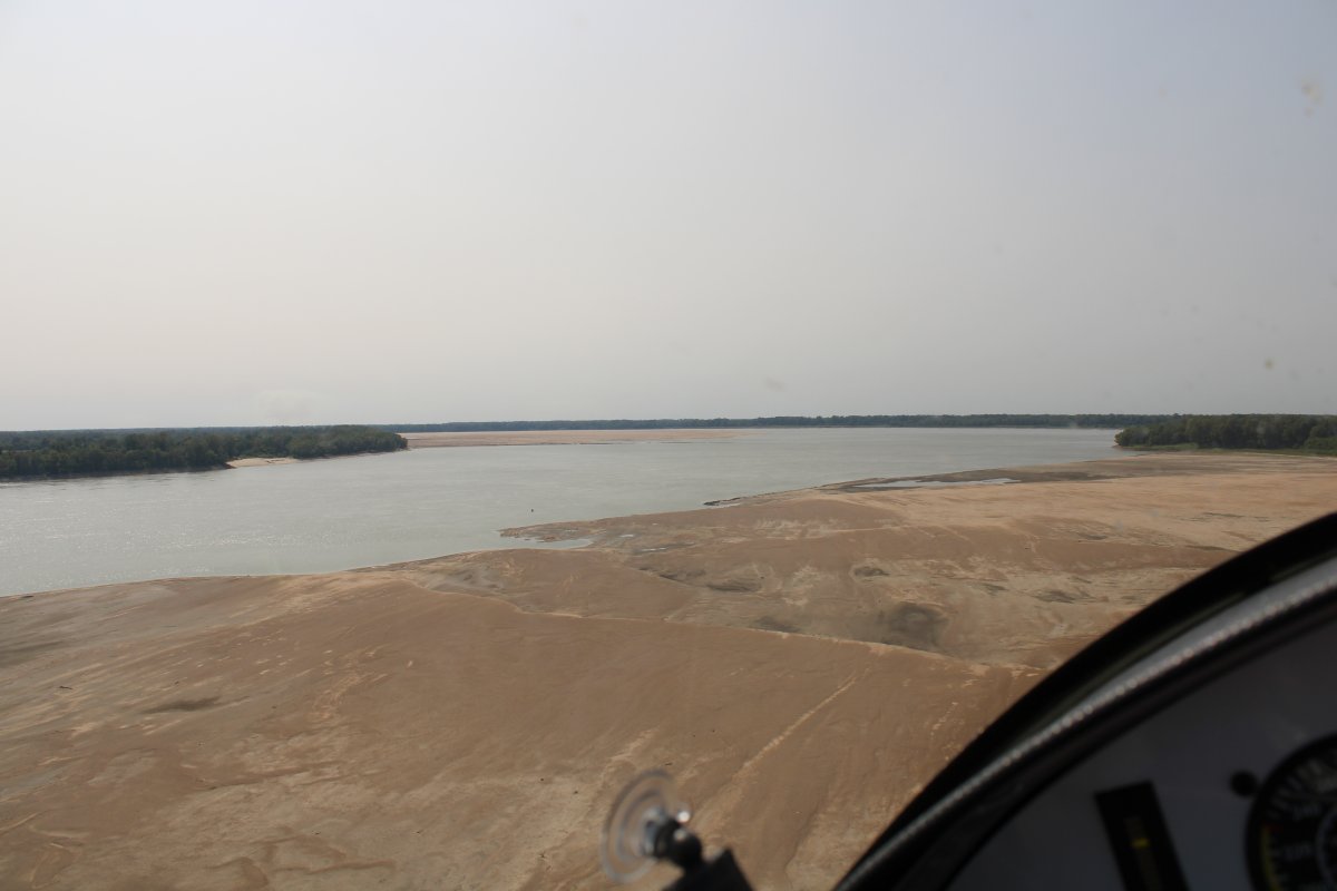
| A huge sandbar in the river. |
| |
 |
|
|
|
| |
 |
|
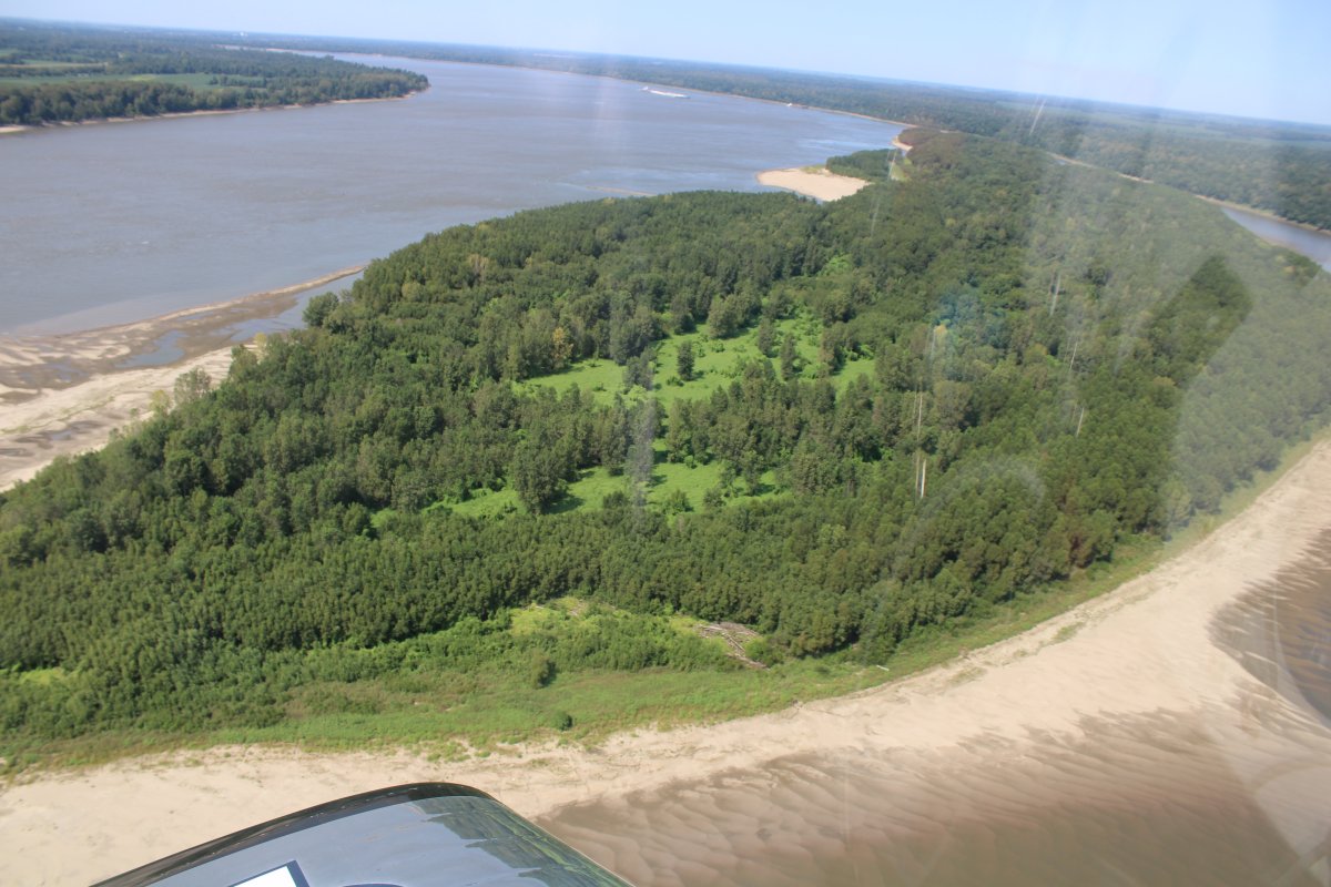
Fun to fly low over the sandbars.
|
| |
 |
|
|
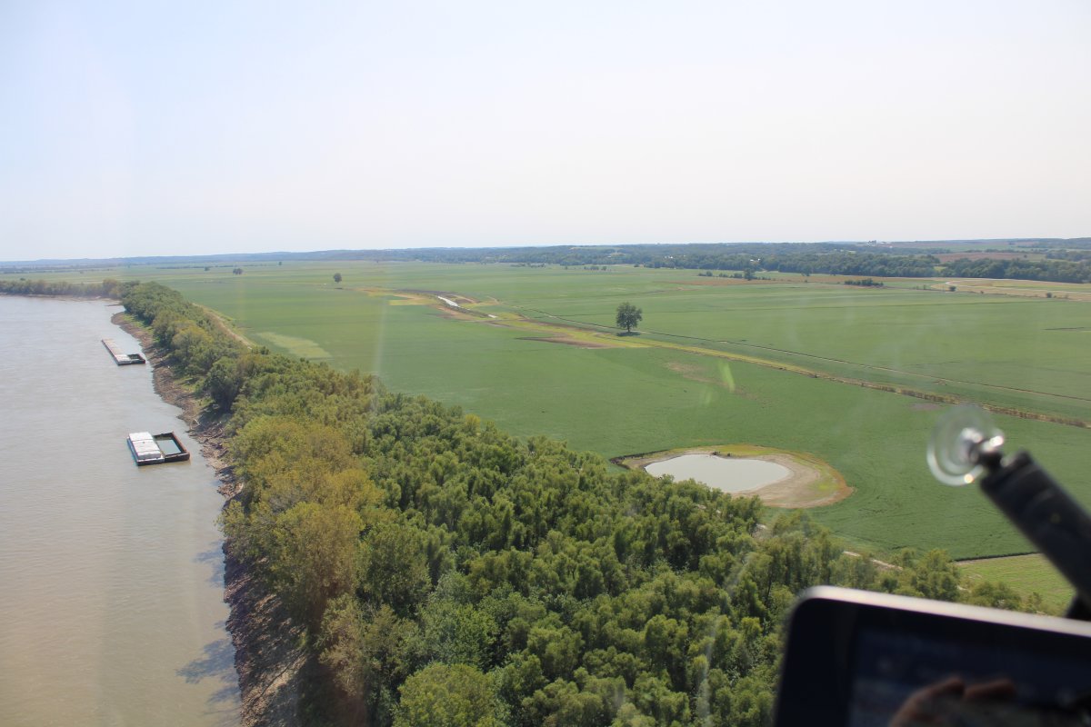
Big, open fields on the right bank.
|
| |
 |
|
| Fun to fly low over these too. |
| |
 |
|
|
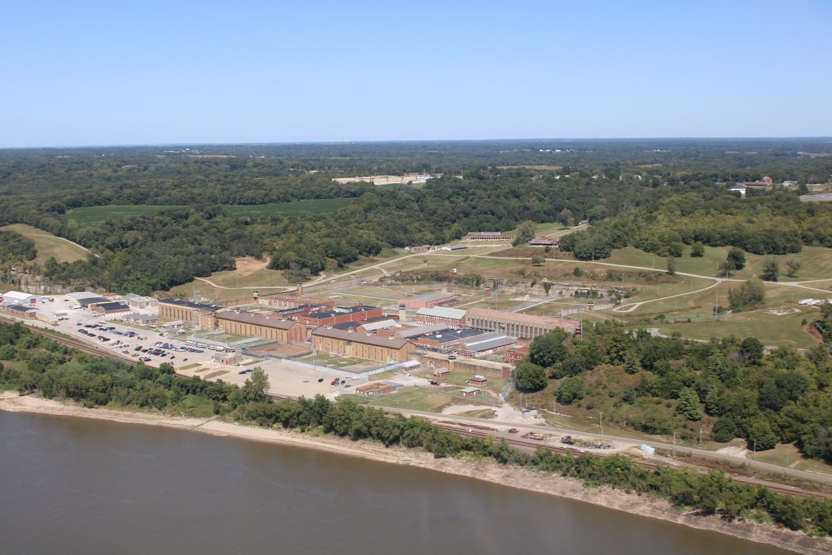
Passing by a prison complex on the left bank. Not fun to be in a prison.
|
| |
 |
|
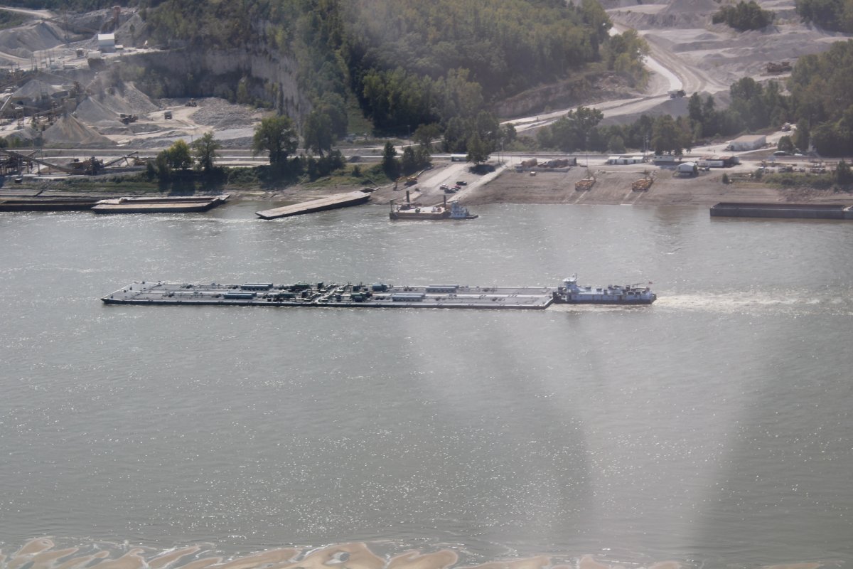
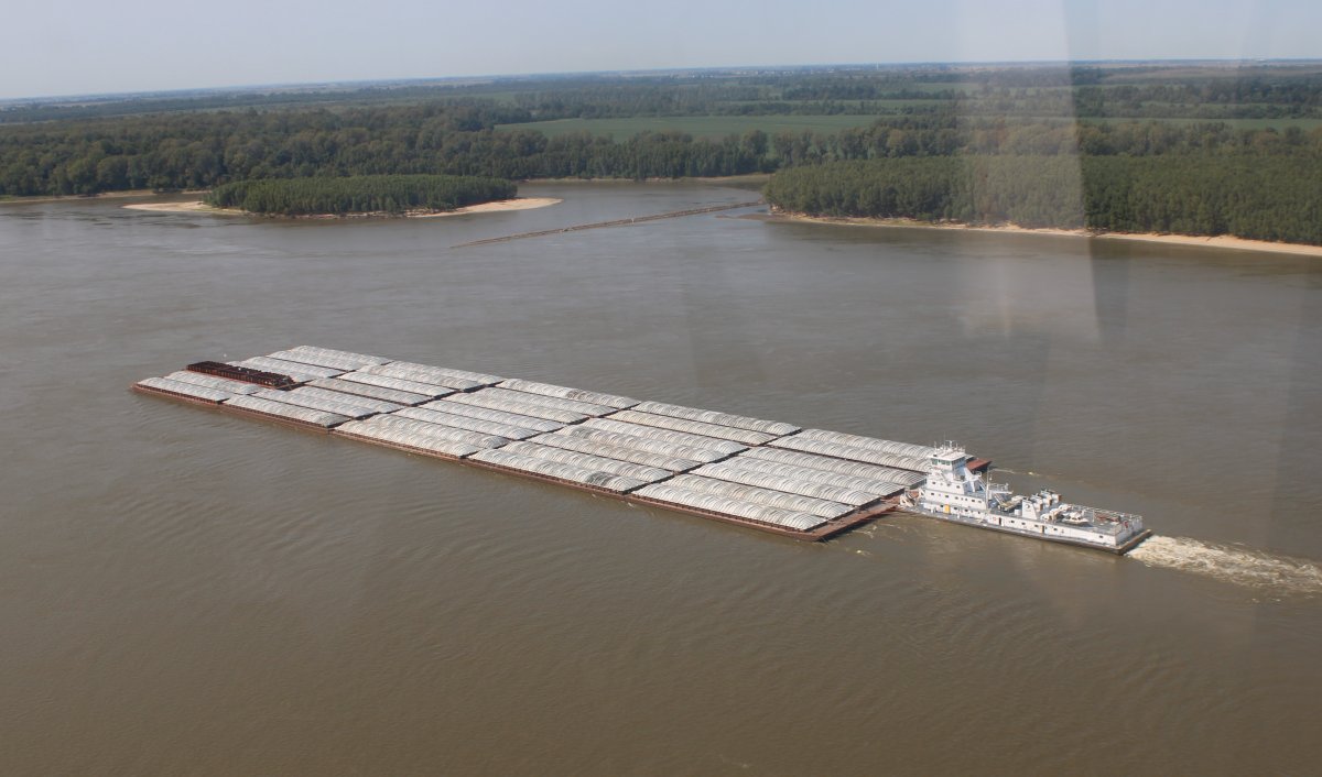
| Close-up of a towboat pushing 35 barges upriver. |
| |
 |
|
| |
 |
|
| The sandbars just keep coming. |
| |
 |
|
|
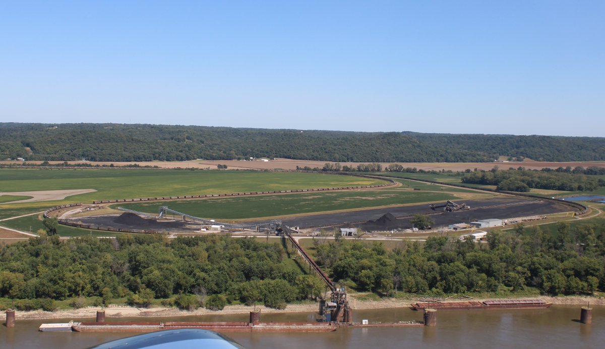
Here is a facility where trains bring railroad cars filled with coal right up to the river, where an apparatus dumps them into a barge on the river.
|
| |
 |
|
| Thanks to an email from one of my blob's readers, I know what this is. It is a Pipeline Bridge. |
| |
 |
|
|
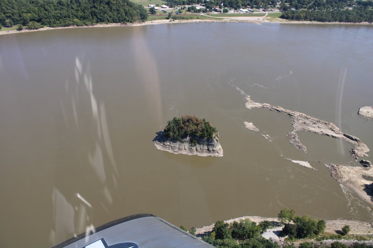
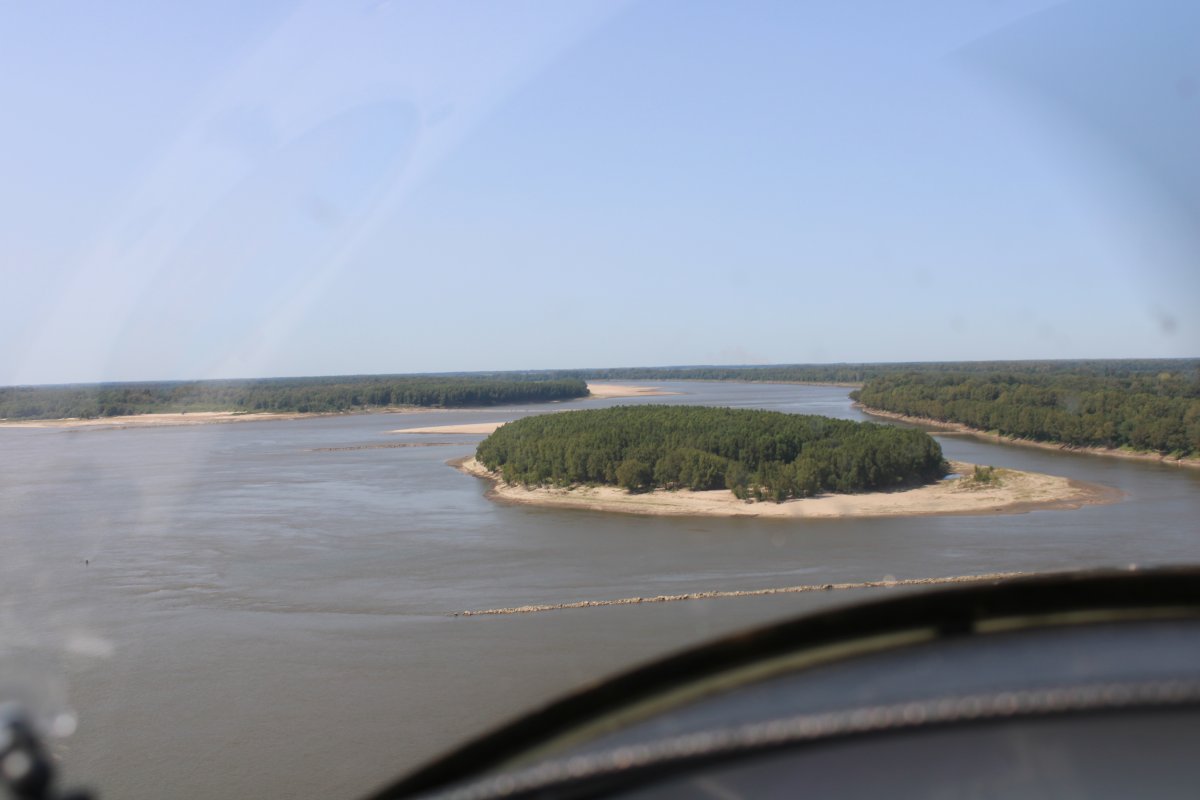
As you probably know by now, there are thousands of islands in the Mississippi. But this is the first one I have seen that is elevated, with cliffs.
|
| |
 |
|
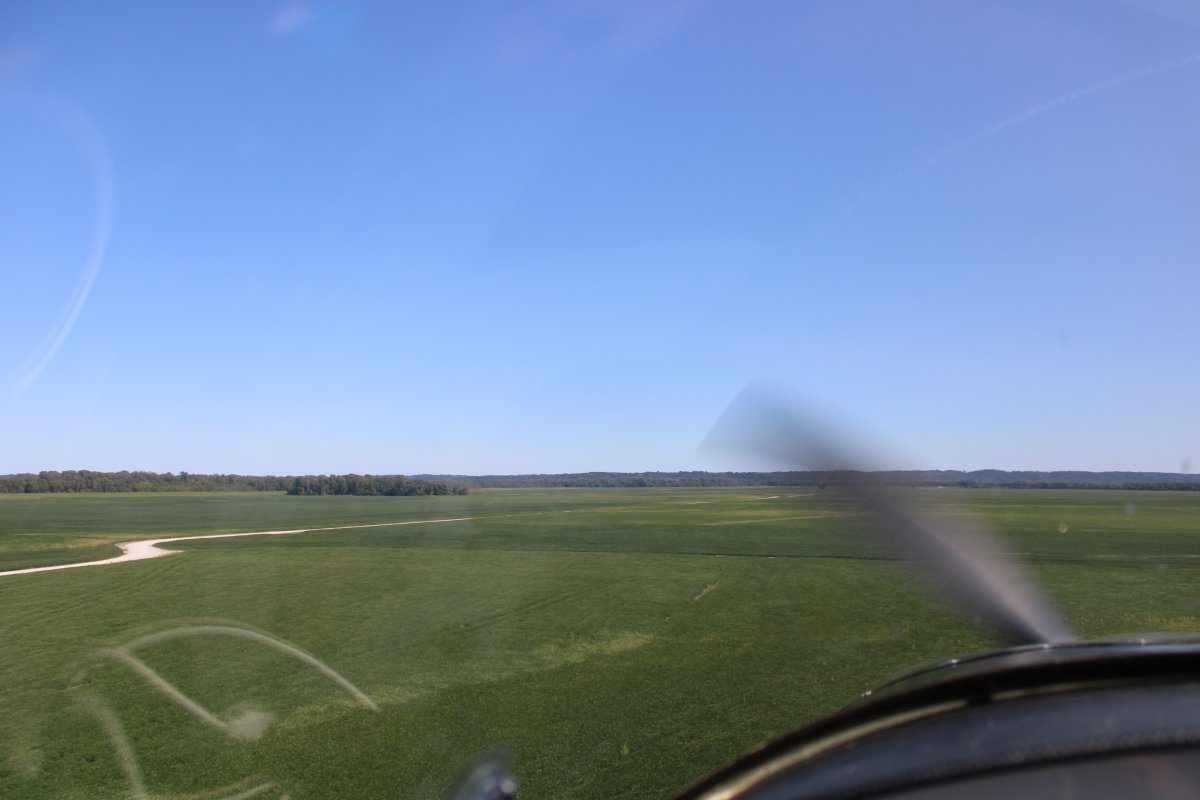
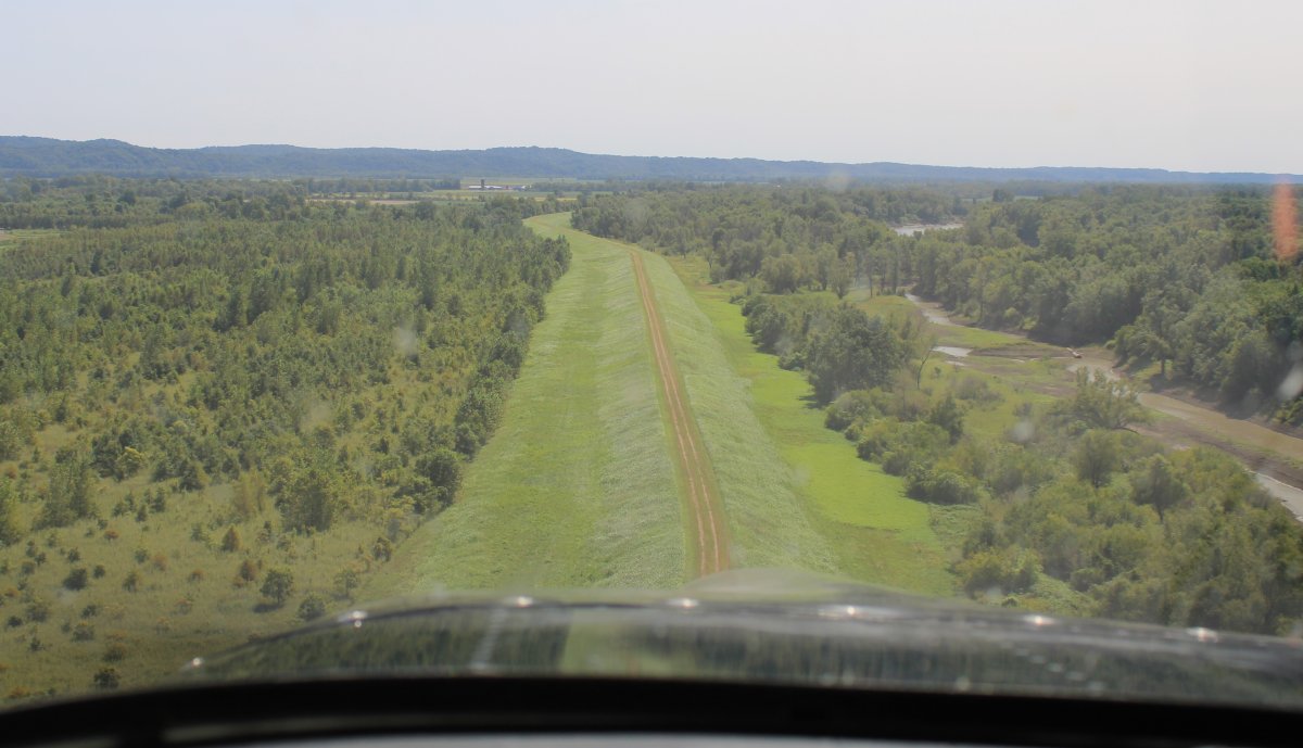
| Typical scene this afternoon. |
| |
 |
|
| And, for something a little different. |
| |
 |
|
| These barges were uncovered so I got see what was inside. Something dark brown -- not sure what it is. Iron ore? Fertilizer? |
| |
 |
|
|
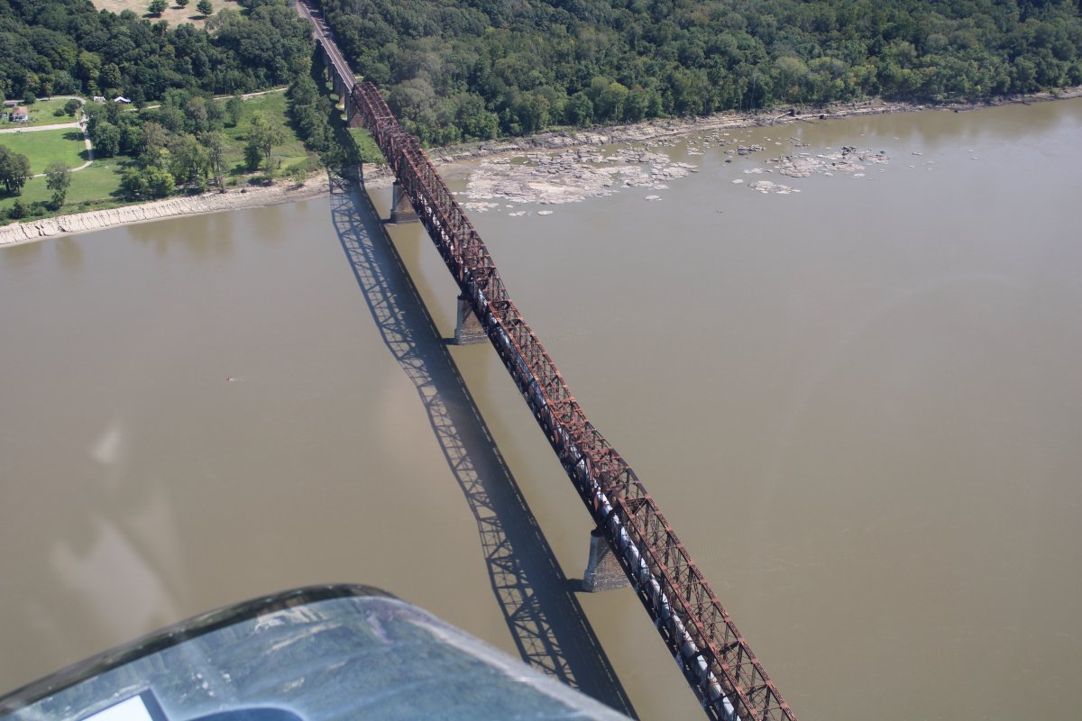
A railroad bridge complete with train.
|
| |
 |
|
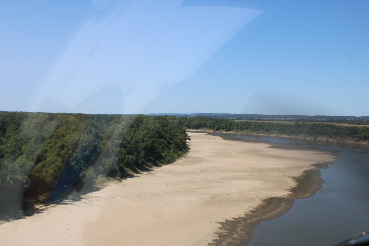
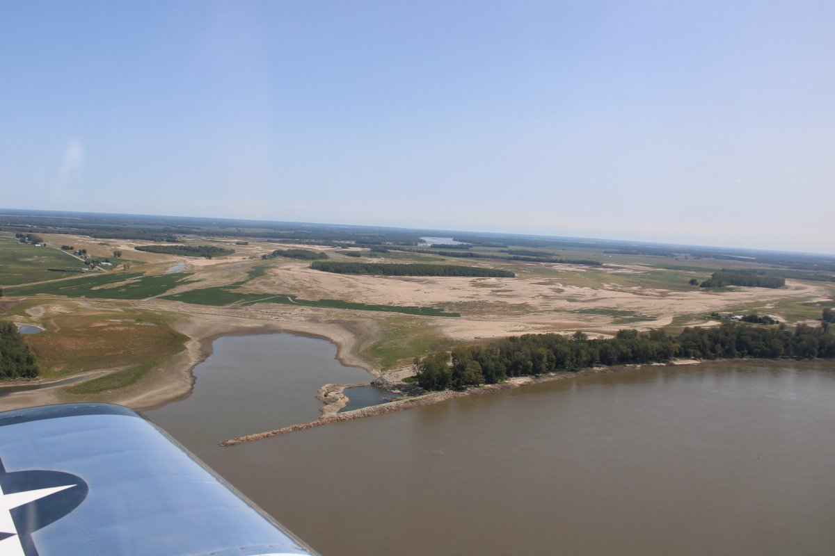
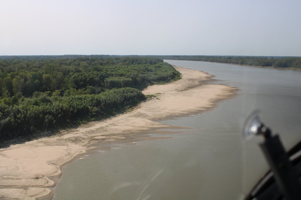
| Sandy area on the shore. |
| |
 |
|
|
Passing by Cario Regional Airport (KCIR). The Ohio River is visible at the top of the picture.
|
| |
 |
|
| Getting closer to the Ohil River. That's the town of Cairo, southernmost city in Illinois. |
| |
 |
|
|
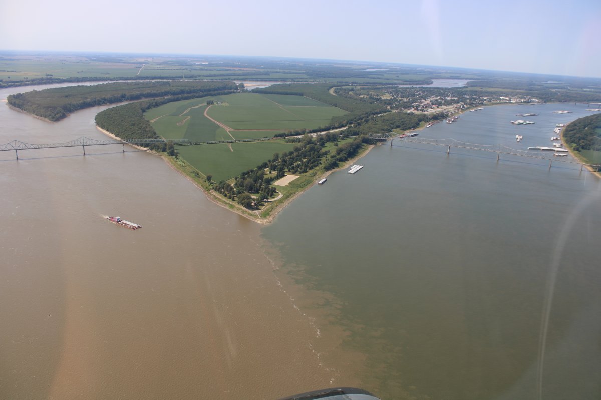
Approaching the point where the Ohio and Mississippi rivers come together.
Fort Defiance, a Civil War camp, was built at the confluence in 1862 by Union General Ulysses S. Grant to control strategic access to the river.
|
| |
 |
|
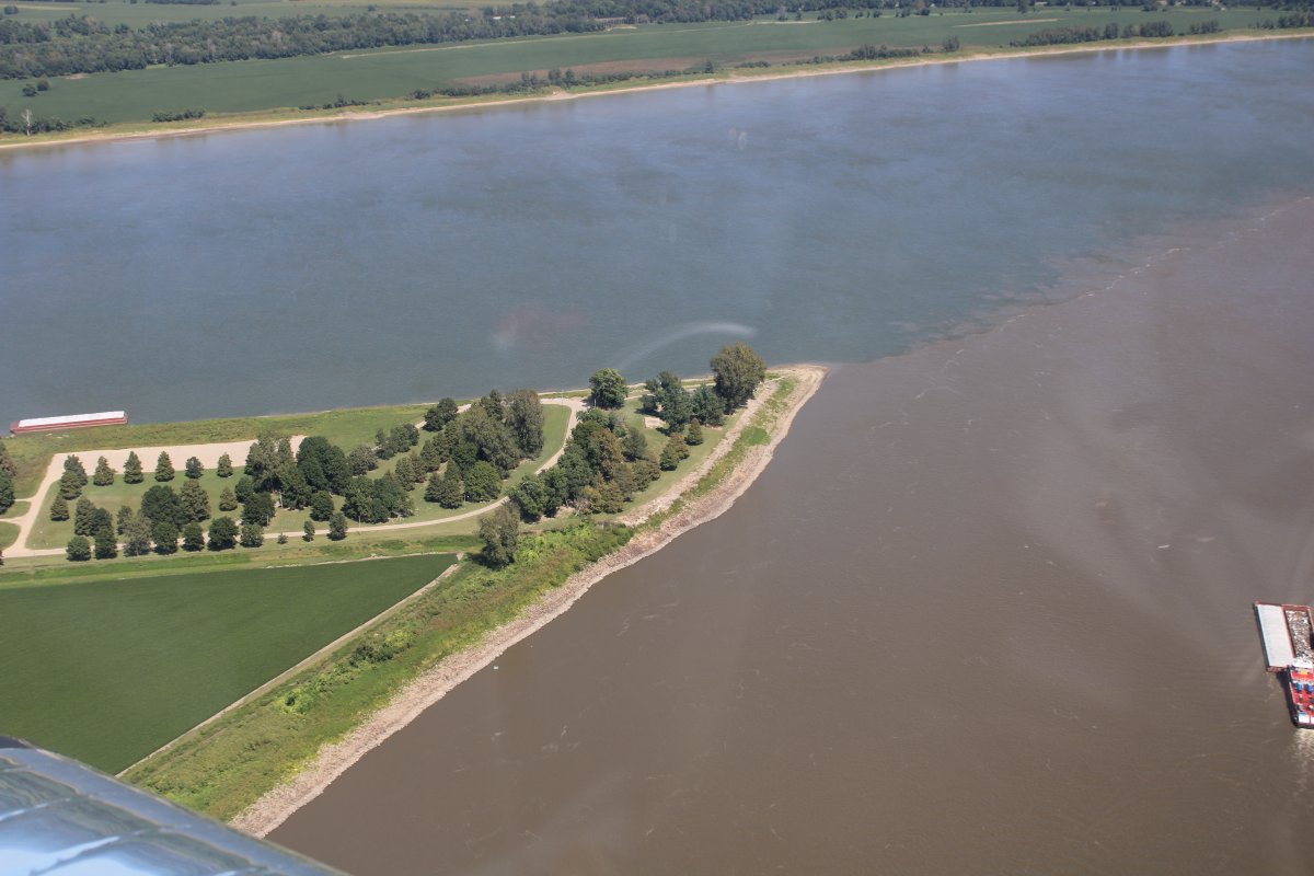
| Notice how brown the Mississippi River is compared to the Ohio River. |
| |
 |
|
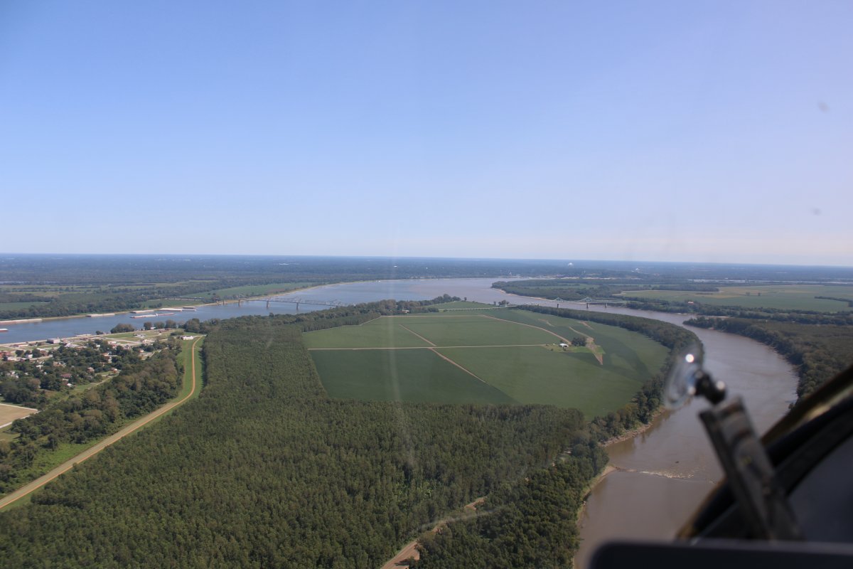
Looking back at the Cairo peninsula. Fort Defiance is on the right side of the tip. |
| |
 |
|
| Vast open fields to the west, in Missouri. Not pictured, Kentucky to the east. |
| |
 |
|
|
ATVs!
|
| |
 |
|
| Trees, sandbars, and the river. |
| |
 |
|
| Rounding the bend. |
| |
 |
|
| Looking west. That river inthe distance is also the Mississippi -- I am on the one side of a giant horseshoe. |
| |
 |
|
|
Now I'm actually heading north.
|
| |
 |
|
| A big uninhabited island called Madrid Bar in the middle of the river. |
| |
 |
|
|
That's the New Madrid Power Plant on the right.
|
| |
 |
|
| |
| |
 |
|
| Another 35-barge rig. But this one has seven across and only five deep. |
| |
 |
|
| A closer look. |
| |
 |
|
|
I left the river and headed west to my overnight destination: Kennett. It was only about 15 miles from the river. There are a ton of airports in this area of the country. Why did I pick Kennett? Two reasons: Fuel price under $3 and courtesy car.
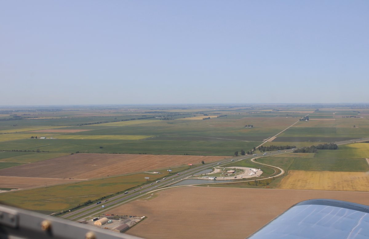
Here I'm pasing a big rest area on Interestate 55, which runs north to south through Missouri.
|
| |
 |
|
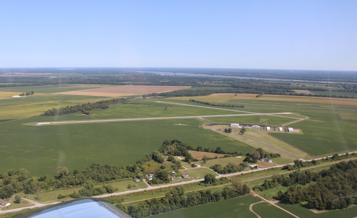
| On the aircraft sectional chart I saw I was passing a grass field airport with facilities, so I checked it out. There it is below: Mid Continent Airport in Hayti, Missouri. I think it is mostly a crop duster airport. |
| |
 |
|
|
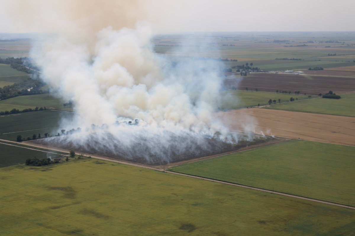
Passing by a controlled-burn -- hopefully. Fires sure do put a lot of smoke into the air.
|
| |
 |
|
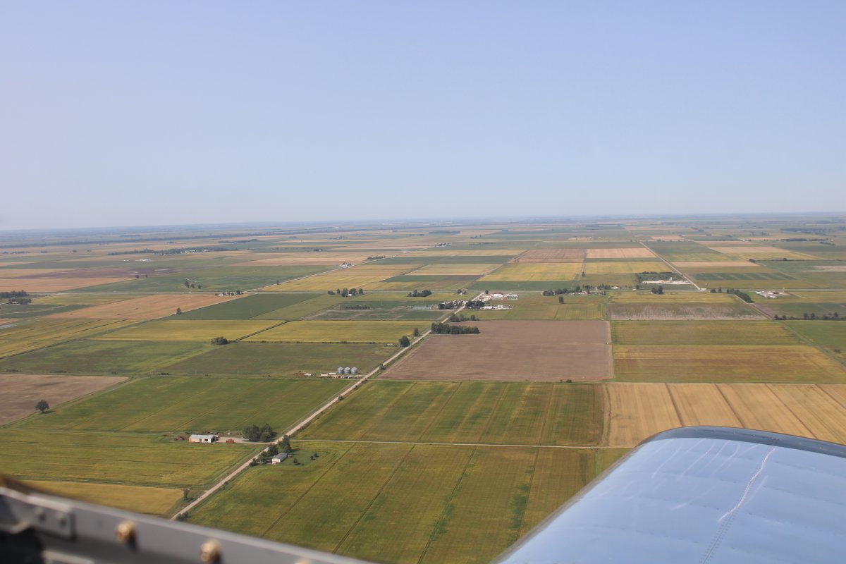
| Looking north. This is Ag country. |
| |
 |
|
|
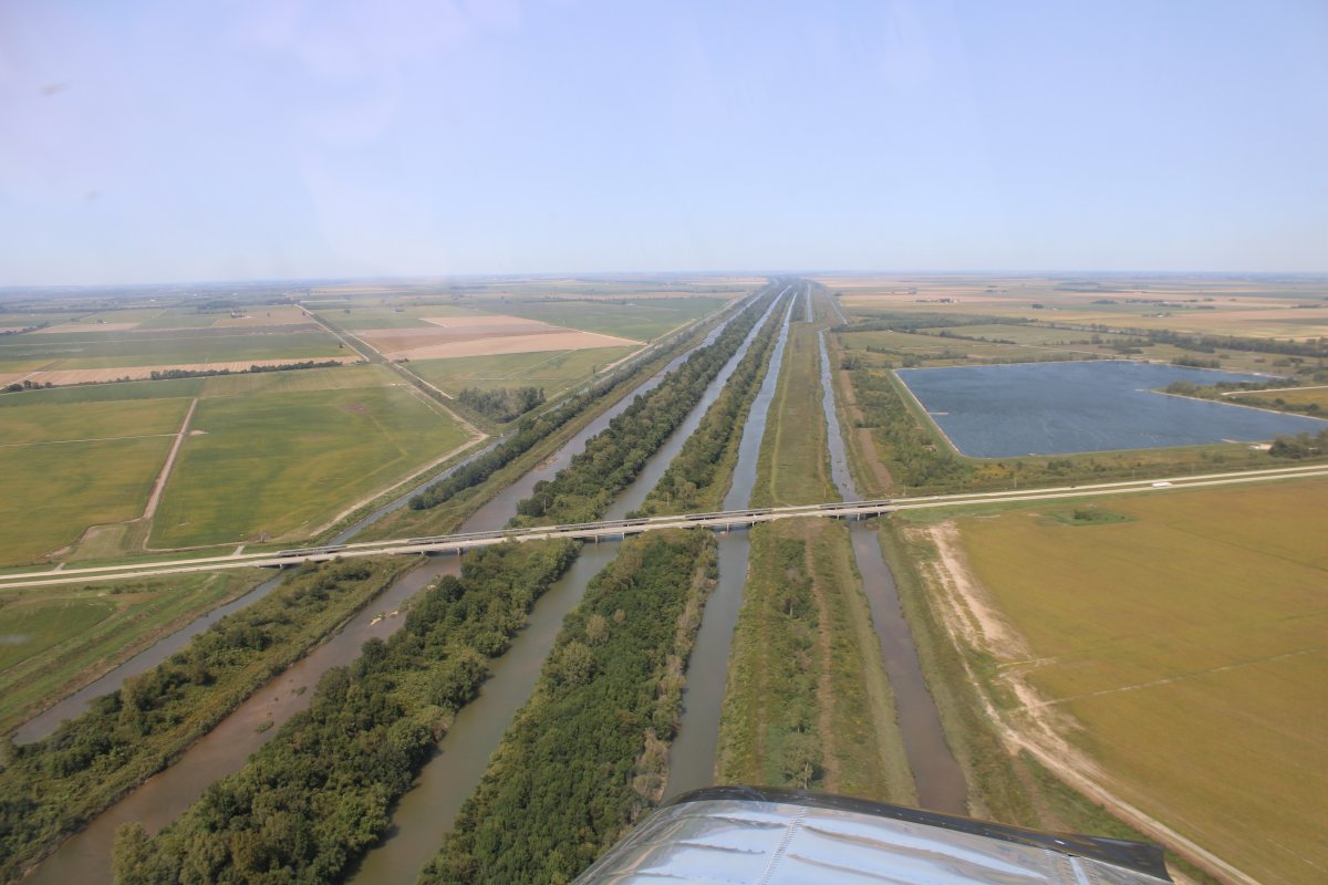
Passing by a very unusual sight: five canals running in parallel.
|
| |
 |
|
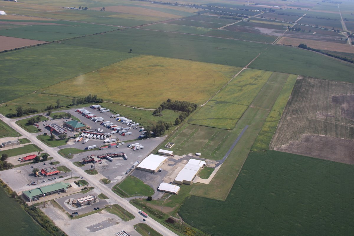
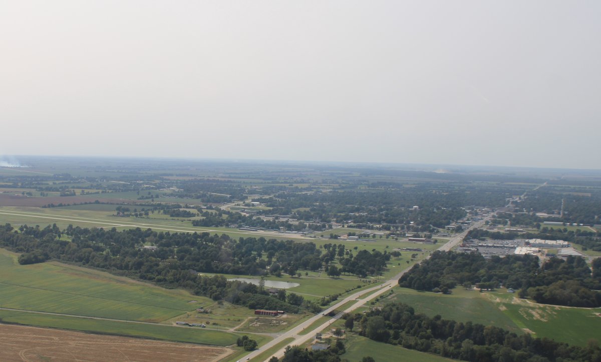
| There is Kennett Memorial Airport (KTKX) with the town of Kennett behind it and to the right. |
| |
 |
|
|
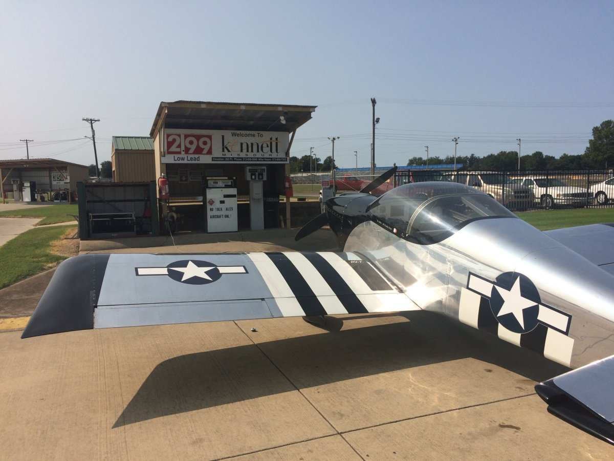
This, my friends, is what we like to see. AvGas for $2.99 a gallon! I can't remember the last time I paid below $3 for AvGas.
After fueling, I got in the plane to taxi over to the tie-down area. I pushed the starter button. Nothing! I pushed the plane to the tie-down area, and tied it down. I was tired, and decided to go check into a motel and get some dinner before fooling with the plane. I did that. I came back to the plane and looked at my electrical system diagram. I could hear the starter solonoid click on when I pushed the button, so I figured it probably wasn't the starter solonoid. And I doubted the starter itself would suddenly give up the ghost after over 11 years of faithful service. I checked the fuse for the starter circuit on the main bus -- it was OK. But I reseated the fuse, and then reseated the wire connecter going to it. I tried the Starter Button again, and it started swinging the prop. Success! I was happy. Didn't even have to pull the cowl. This is one of the benefits of building your own plane. You can usually fix things like this yourself.
|
| |
 |
|
|
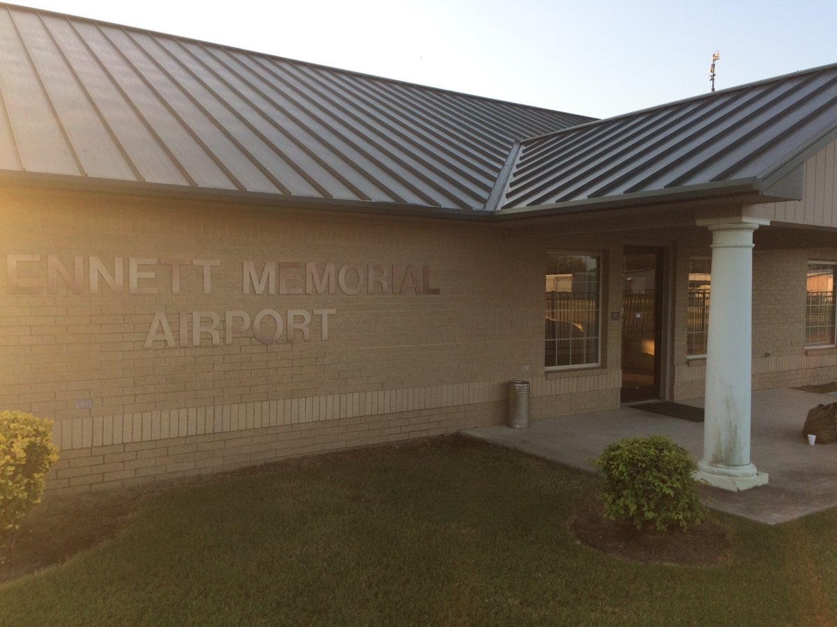
Kennett had a very nice terminal. It was unattended, but of course, today was a Saturday. Not one but two courtesy cars were available! Even if they weren't, there were some motels and food places within walking distance of the airport.
While Kennett had a superior airport, the town itself was another matter. I drove around a little bit in the courtesy car. The town was just run-down and had a bad vibe.
|
| |
 |
|
| |
| |
|
|
|
|
|
|